When you click on links to various merchants on this site and make a purchase, this can result in this site earning a commission. Affiliate programs and affiliations include, but are not limited to, the eBay Partner Network.
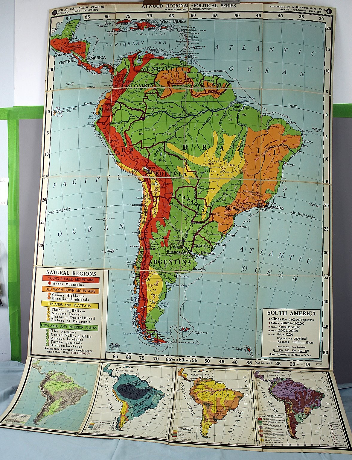
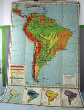
This is an Atwood Regional-Political Series wall map focusing on South America, published by A.J. Nystrom & Co., Chicago. The map is arranged for comparative map studies and edited by Wallace W. Atwood, President of Clark University. It features detailed political boundaries, natural regions, land utilization, distribution of people, annual rainfall, and physical topography of South America. The map uses a Lambert's Equal Area Projection with a scale of 1:7,000,000 or 110 miles to the inch. Size approx. 65" x 43" unfolded. RAREThis listing includes one large wall map chart of South America with color-coded natural regions, elevation markings, population distribution, and land use information. The map is printed on a fabric or canvas-like material and includes reinforced holes for hanging. The map is creased for folding and has multiple rubber bands holding it in a folded position. Specifications exactly as printed:
- Brand/Maker: Atwood, published by A.J. Nystrom & Co.
- Item Type: Regional-Political Wall Map / Chart
- Theme/Design: South America, Political Boundaries, Natural Regions, Population Distribution, Land Utilization
- Projection: Lambert's Equal Area Projection
- Scale: 1:7,000,000 or 110 Miles to the Inch
- Edition Year: 1949
- Map Number: AR 6
- Made in U.S.A.
- Includes detailed inset maps showing physical map, annual rainfall, distribution of people, and land utilization.
- Material: Fabric or canvas-like map material
- Components Included: One map chart as pictured with reinforced hanging holesThis vintage educational map is ideal for collectors, educators, or geography enthusiasts interested in mid-20th century cartographic representations of South America. Its detailed political and natural data make it a valuable reference or decorative piece.
Down Case 4, top