When you click on links to various merchants on this site and make a purchase, this can result in this site earning a commission. Affiliate programs and affiliations include, but are not limited to, the eBay Partner Network.
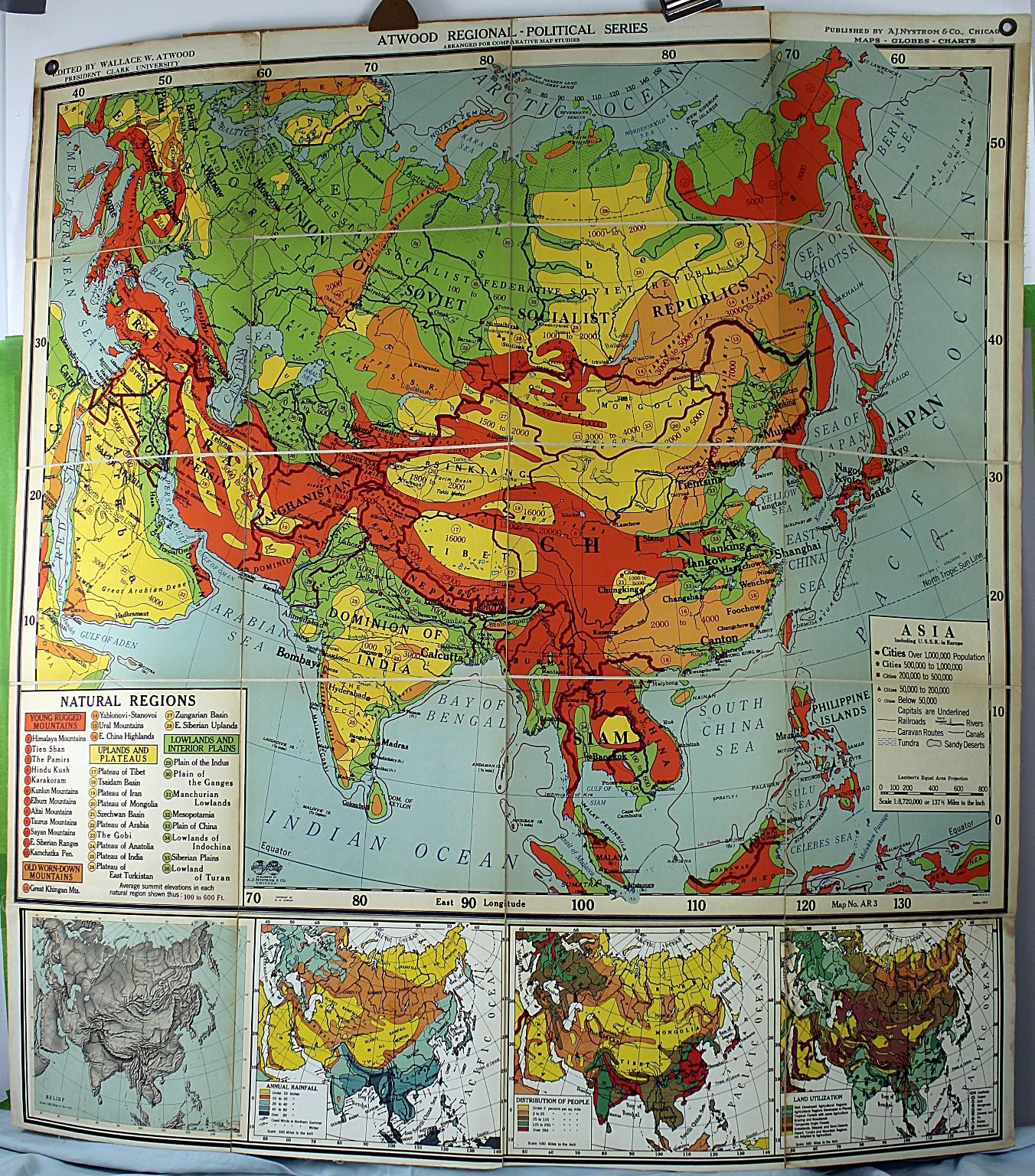
This is an Atwood Regional-Political Series map titled "Asia," published by A.J. Nystrom & Co., Chicago. It is a wall chart map printed on paper and mounted on cardboard backing, part of a comparative map studies series edited by Wallace W. Atwood, President of Clark University. The map is a regional-political depiction of Asia and includes detailed information on natural regions, cities, population, rainfall, land utilization, and distribution of people. The map number is AR 3 and it is labeled as Edition 1949. The map features colorful regional distinctions with a scale of 1:8,720,000 or 137 miles to the inch. Size is approx. 56" x 52" unfolded.Included in this listing is the single Atwood Asia regional-political map mounted on a brown backing board with a hanging hole. The map displays detailed geographic and demographic data such as young rugged mountains, uplands and plateaus, lowlands and interior plains, old worn-down mountains, population densities, annual rainfall, and land utilization.Specifications:
- Brand/Maker: Atwood (Wallace W. Atwood, editor)
- Publisher: A.J. Nystrom & Co., Chicago
- Item Type: Regional-Political Wall Map, Asia
- Era/Year: 1949 Edition
- Material: Paper mounted on cardboard backing
- Dimensions: Not explicitly stated, standard wall map size
- Map Number: AR 3
- Features: Color-coded natural regions, population distribution, rainfall, land use
- Included Components: Single mounted map sheet with backing board
- Printed: Made in U.S.A.
- Theme: Asia regional-political, natural regions, demographic dataThis vintage Atwood regional-political map is ideal for collectors, educators, or enthusiasts interested in mid-20th century cartography, historic geopolitical boundaries, and geographic studies of Asia.
Down Case 4, top