When you click on links to various merchants on this site and make a purchase, this can result in this site earning a commission. Affiliate programs and affiliations include, but are not limited to, the eBay Partner Network.
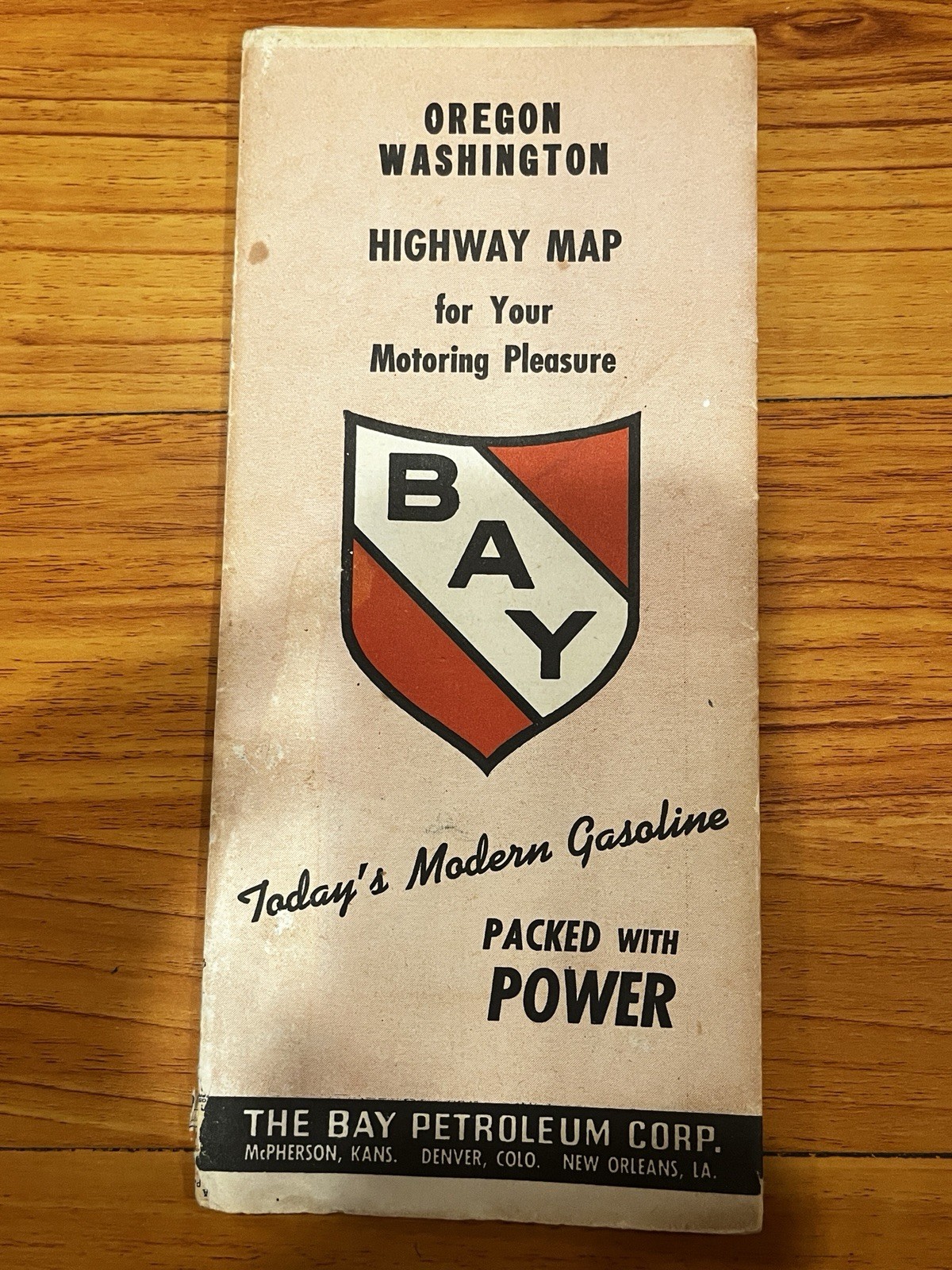
Vintage 1946 The Bay Petroleum Corp. Oregon & Washington Highway Map
Up for sale is an authentic vintage 1946 folding highway map of Oregon and Washington, published by Rand McNally for The Bay Petroleum Corp.
Features:
Front Side: Full detailed road map of Oregon and Washington with city/county population index (based on the 1940 Census).
Reverse Side: Full United States road map, National Parks directory, mileage chart, and 1940s traffic law illustrations (hand signals, passing zones, etc.).
Condition Details:
Pre-owned vintage condition.
Paper is crisp with original factory folds.
Minor edge and seam wear typical for paper maps of this age.
No major tears or missing sections observed; colors remain sharp and legible.
Shipping: