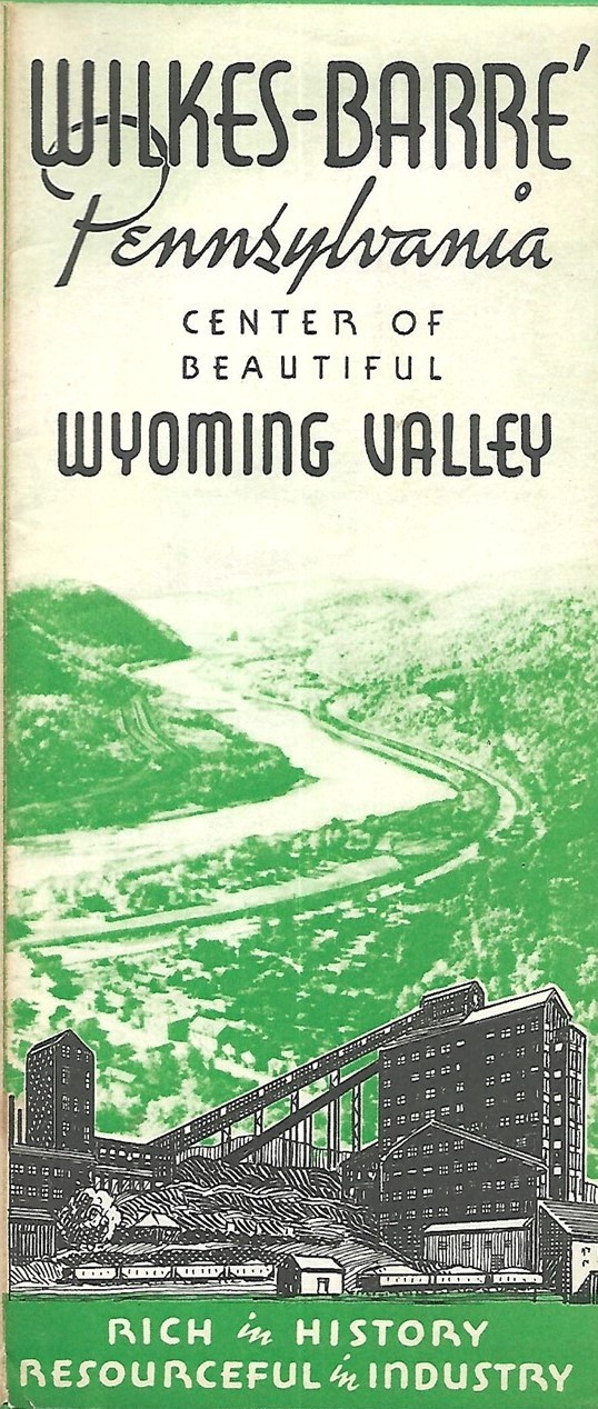
 1940 Pictorial Map WILKES-BARRE Wyoming Valley Anthracite Coal Mine Pennsylvania For Sale
When you click on links to various merchants on this site and make a purchase, this can result in this site earning a commission. Affiliate programs and affiliations include, but are not limited to, the eBay Partner Network.

1940 Pictorial Map WILKES-BARRE Wyoming Valley Anthracite Coal Mine Pennsylvania:
$17.99
Vintage brochure with pictorial map of Wilkes-Barre with a photo-tour of an anthracite coal mine, published in 1940 by the Wyoming Valley Chamber of Commerce. - It opens to 17 in. x 11 in., and the handsome hand-drawn map covers the area between Lake Carey and the Laurel Run mine fire, still burning today.
- Other named places and features on the map include Queen Esther's Rock, Harvey College, Artillery Park, Pickering House, Kirby Health Center, Kingston Corners, Fox Hill Country Club, and the offices of the Wyoming Valley Motor Club.
- Condition: This map is in excellentcondition, bright and clean, with norips, tears, or writing. Pleasesee the scans and feel free to ask any questions.
- Buy with confidence! We are always happy to combineshipping onthe purchase of multiple items — just make sure to pay for everythingat one time, not by SixBit's eCommerce Solution
|
|
Other Related Items:
Related Items:
1940 Pictorial Map WILKES-BARRE Wyoming Valley Anthracite Coal Mine Pennsylvania $17.99

Vintage Pictorial Review 9156 Boys Shorts Sewing Pattern Size 14 Waist 28 1940s $11.24
“Blitzkreig” Lightning War methods 1940 pictorial WWII Nazi Germany $8.99
|
