When you click on links to various merchants on this site and make a purchase, this can result in this site earning a commission. Affiliate programs and affiliations include, but are not limited to, the eBay Partner Network.
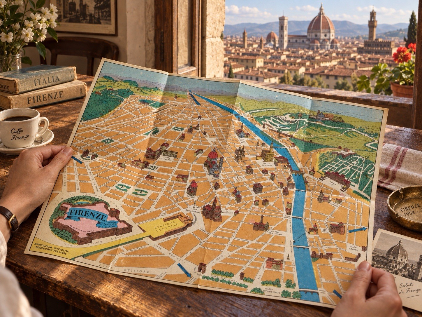
Vintage 1957 pictorial folding map of Firenze (Florence), Italy, featuring a colorful illustrated bird’s-eye-style view of the city, major streets, landmarks, neighborhoods, the Arno River, and surrounding areas.
The map is credited on the artwork with “Disegno Originale di S. Calvino” and includes detailed illustrated views of notable Florence landmarks and locations such as the Duomo, Piazza della Signoria, Stazione Centrale, Piazza della Libertà, Fiesole, and many other historic areas.
This is a large-format folding tourist/city map, measuring approximately 40 x 30 inches when fully opened.
Printed text on the map includes:
“Riproduzione Interdetta – Perseguibile per Legge”
and
“Disegno Originale di S. Calvino.”
A wonderful vintage piece for collectors of Italian maps, Florence memorabilia, European travel ephemera, mid-century graphics, cartography, or vintage wall décor.
Condition:
Vintage pre-owned condition with original fold lines from storage and use. Light age-related toning, small spots/marks, and minor handling wear are visible in places. Colors remain bright and visually appealing. No major missing sections are visible in the provided photos. Please review all photos carefully, as they are part of the condition description.
Details
* City: Firenze / Florence
* Country: Italy
* Date: 1957
* Artist/Designer: S. Calvino
* Type: Pictorial / Illustrated Folding City Map
* Language: Italian
* Material: Paper
* Approx. open size: 40 x 30 in
* Vintage original-period map
A very attractive display piece with strong mid-century Italian graphic style and excellent visual detail.