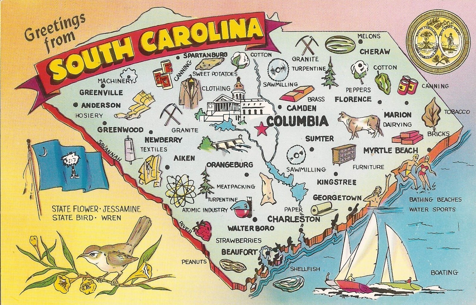
 South Carolina MAP - Industries, Agriculture, State Flag & Seal, Bird & Flower For Sale
When you click on links to various merchants on this site and make a purchase, this can result in this site earning a commission. Affiliate programs and affiliations include, but are not limited to, the eBay Partner Network.

South Carolina MAP - Industries, Agriculture, State Flag & Seal, Bird & Flower:
$8.50
South Carolina MAP - Industries, Agriculture, State Flag & Seal, Bird & Flower: South Carolina is a state in the coastal Southeastern region of the United States. It borders North Carolina to the north, the Atlantic Ocean to the southeast, and Georgia to the southwest across the Savannah River. Along with North Carolina, it makes up the Carolinas region of the East Coast. South Carolina is the 40th-largest and 23rd-most populous U.S. state with a recorded population of 5,118,425 according to the 2020 census. In 2019, its GDP was $213.45 billion. South Carolina is composed of 46 counties. The capital is Columbia with a population of 136,632 in 2020; while its most populous city is Charleston with a 2020 population of 150,227. The Greenville-Spartanburg-Anderson, SC Combined Statistical Area is the most populous combined metropolitan area in the state, with an estimated 2023 population of 1,590,636. This pre-zip code (before 1963) Photochromatic postcard contains on its reverse information about the state:Nickname: Palmetto StateCapitol: ColumbiaFlower: Yellow JessamineBird: Wren1955 Population: Over 2,000,000Area: 30,989 Sq. MilesUnion Admission: May 23, 1788.The pre-zip code (before 1963) card is in good condition. Lusterchrome. Tichnor Bros. Boston 15, Mass. No. K-6148
|
|
Other Related Items:
Related Items:
Railroad Train Station Depot Bishopville South Carolina SC - Reprint $1.99
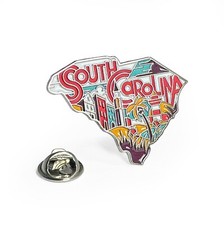
South Carolina Enamel Lapel Pin – Collectible State Souvenir $9.99
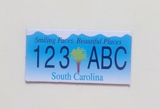
South Carolina License Plate Refrigerator Magnet Rubber New $9.00
|
