When you click on links to various merchants on this site and make a purchase, this can result in this site earning a commission. Affiliate programs and affiliations include, but are not limited to, the eBay Partner Network.
75 x 54 in.
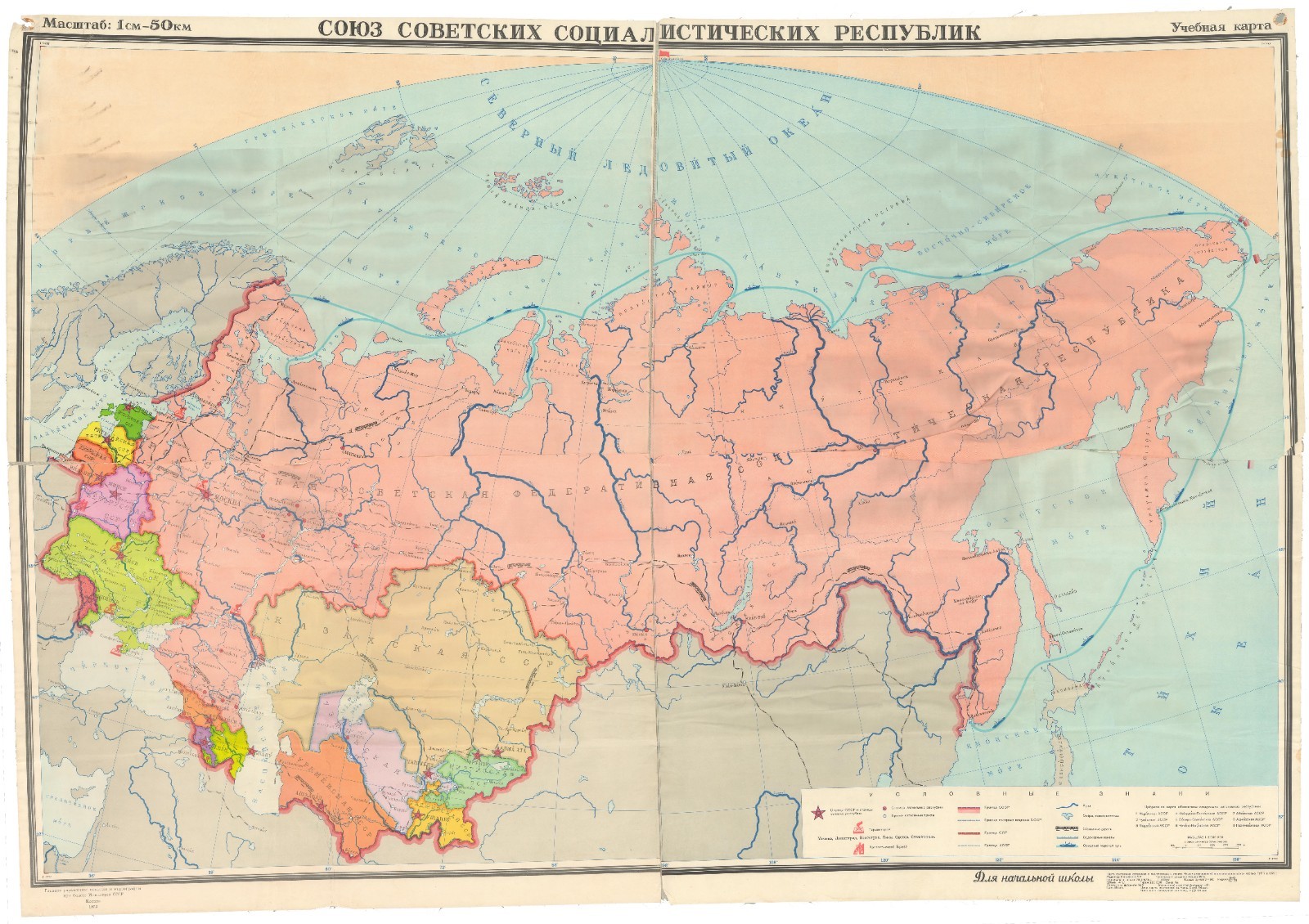
Союз Советских Социалистических Республик.
This is a very large 'educational map' (Учебная карта)of the Soviet Union, showing the individual constituent Soviet SocialistRepublics. It includes a range of administrative, economic, and geographicinformation, and the legend also contains symbols denoting hero cities (города-герои)and the hero fortress of Brest (крепость-герой Брест), which held out againstGerman attacks for weeks in the opening phase of Operation Barbarossa. At rightin the legend, the numbers and text listed correspond to small Autonomous SovietSocialist Republics (автономная советская социалистическая республика), whichwere quite distinct from the much larger SSRs such as the Kazakh SSR, theGeorgian SSR, and the Russian Federative SSR.
Among the railways shown are the famous Trans-SiberianRailway, which by this time had several branches, as well as the Turksib (Turkestan–Siberia)Railway. The year after this map's publication, the Soviet Tenth Five-Year Plantasked the Young Communist League (Kosomol) with the "construction projectof the century," the Baikal-Amur Railway (BAM). Tens of thousands of youngpeople were mobilized to build the railway, which was built on a foundationlaid over many years through Gulag prison labor. The BAM route branched off theTrans-Siberian and ran north of Lake Baikal into eastern Siberia, yet anotherin a long string of attempts to access and extract the region's vast resources.As a major infrastructure project and propaganda campaign of the late Sovietperiod, the railway's construction reflected the problems of the late Soviet system,including inefficiency and heavy-handedness. The BAM was eventually completed,but at significant financial and political cost, helping to impel the collapseof the Soviet Union.
This map was made by the Scientific and EditorialMapping Department of the Main Directorate of Geodesy and Cartography (Главноеуправление геодезии и картографии, GUGK for short). The cursive text at bottomindicates that the map was intended for use in elementary schools, and thegromets in the upper corners suggest that it was hung in a classroom. It wasoriginally published in 1971, while the present edition was "signed forprinting" on November 20, 1973. It was edited by A.S. Nikolaeva (А.С.Николаева) and Y.A. Usenko (Ю.А. Усенко) served as technical editor.