When you click on links to various merchants on this site and make a purchase, this can result in this site earning a commission. Affiliate programs and affiliations include, but are not limited to, the eBay Partner Network.
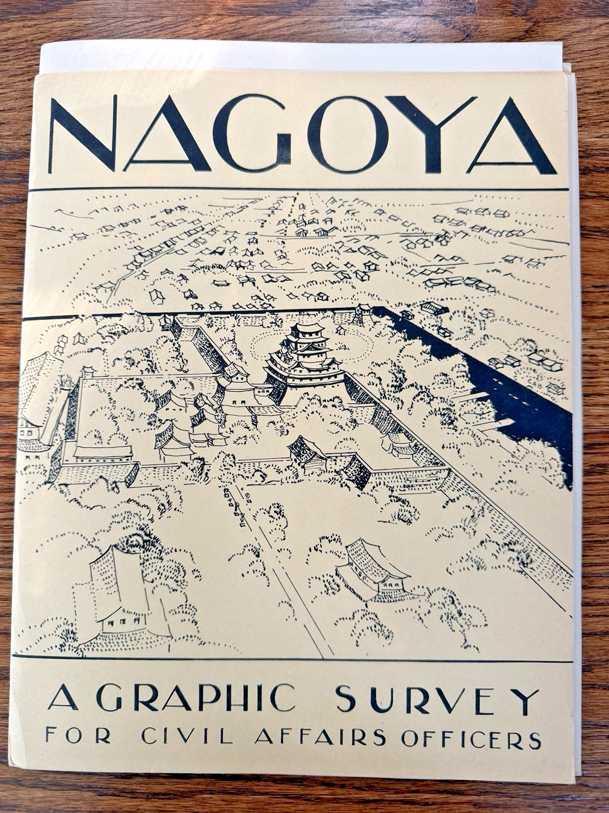
This group was issued as part of Major Cities of Japan: A Graphic Survey for Civil Affairs Officers, prepared for U.S. military-government personnel during the closing period of World War II.
The Nagoya survey contains 10 separate maps, and this example includes all 10 maps documented for the Nagoya group.
These are not ordinary tourist or commercial maps. They were prepared to give Civil Affairs and military-government officers detailed information about Nagoya and its infrastructure in anticipation of the administration of Japan.
The maps examine different aspects of Nagoya and the surrounding area, including urban infrastructure and services. One example shown in the photographs, “City of Nagoya Japan – Communications,” maps such facilities as telephone offices, telegraph offices and radio stations.
The maps are in very nice condition for their age, particularly considering their intended working use. Please review the photographs carefully for condition and contents.
IMPORTANT: The Major Cities of Japan: A Graphic Survey for Civil Affairs Officers master portfolio shown in the photographs originally housed the larger multi-city collection. The master portfolio is shown for historical context only and is NOT included in this Nagoya listing. This listing is for the complete group of 10 Nagoya maps only.
A fascinating and uncommon piece of WWII Pacific Theater history with appeal to collectors of World War II maps, U.S. military-government material, Civil Affairs ephemera, Occupation of Japan material, historic Nagoya cartography, and military intelligence/planning documents.
Includes all 10 Nagoya maps. They are being offered together as a group and will not be separated.