When you click on links to various merchants on this site and make a purchase, this can result in this site earning a commission. Affiliate programs and affiliations include, but are not limited to, the eBay Partner Network.
Harlem River map
NYC east side in the early 20th century
A really cool map that has lots of details
Perfect for your establishment
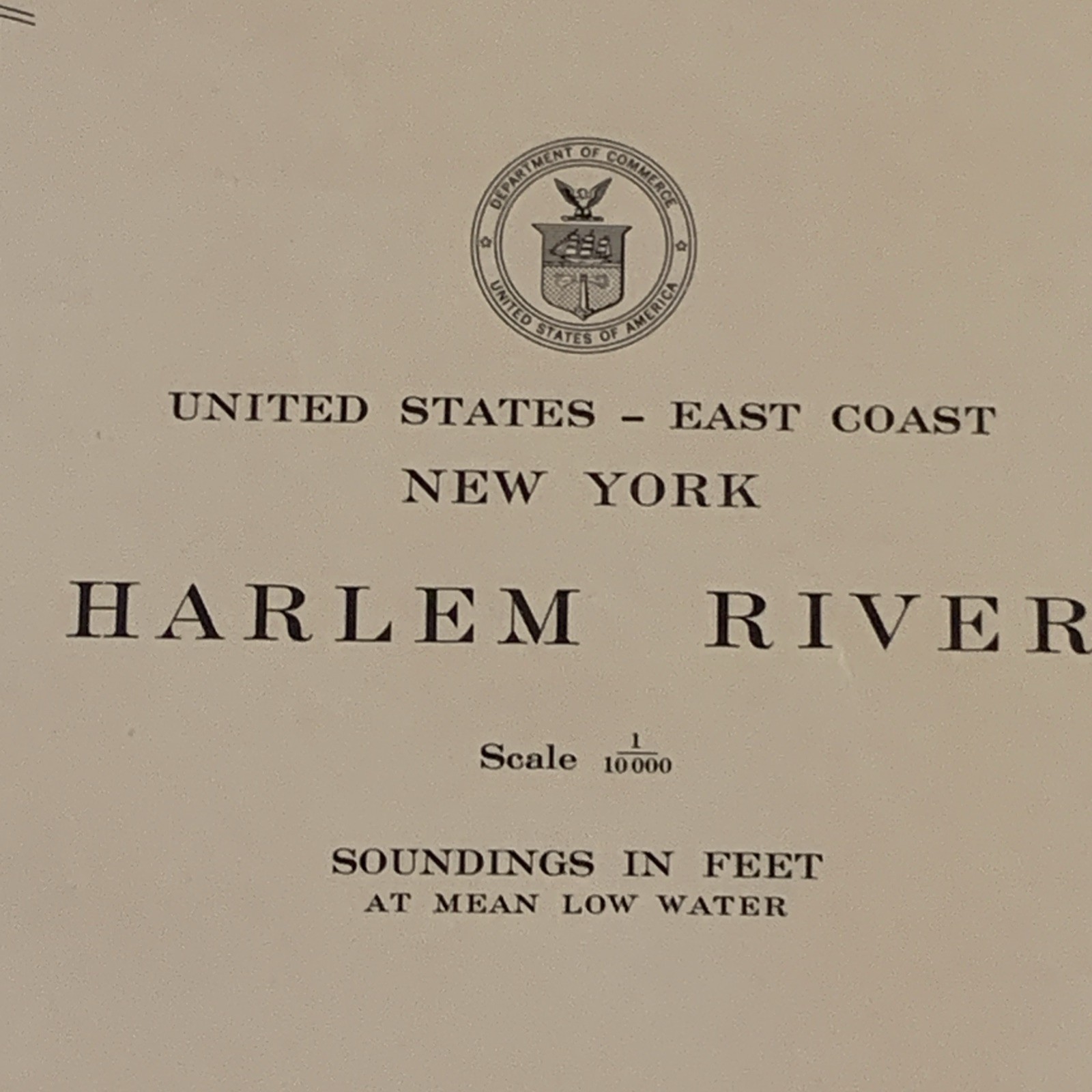
This is a rare and valuable antique map of the Harlem River, originally created in 1939 by the US Coast and Geodetic Survey No 274. It is a beautiful piece of maritime history, measuring 17" x 42" and featuring intricate details of the river's navigation.
The map is an original, authentic piece and has not been reproduced. It was created by USG & GS, a reputable maker of nautical charts.
Original 1939 Harlem River Navigation Chart Map No. 274 – U.S. Coast & Geodetic Survey – 17”x42” – NYC History
This map would make a great addition to any collection of antiques or maritime memorabilia. Its historical value is undeniable, and it is sure to be a conversation starter in any home or office.
NYC east side in the early 20th century
Condition: Excellent – Original vintage chart, flat (not folded), light age toning, no tears or major damage.
Ships Rolled – Fast shipping in a sturdy tube.
⸻
📜 Item Description
For sale is an original 1939 navigation chart of the Harlem River, New York City, produced by the U.S. Coast & Geodetic Survey (USC&GS). This is Map No. 274, 14th Edition, published in July 1939 (first issued in 1898). The chart offers a detailed view of the Harlem River area from Wards Island to Spuyten Duyvil, including key bridges, city layout, and depth soundings.
Features:
• Soundings in feet at mean low water
• Tidal information and bridge clearances
• Includes Wards Island, Randall’s Island, Bronx, and Manhattan shoreline
• Scale 1:10,000
• Excellent piece for framing, collecting, or gifting
⸻
🧭 Details
• Dimensions: 17 inches x 42 inches
• Printed by: USC&GS, Washington D.C.
• Director: L.O. Colbert
• Edition: 14th (Original dated July 1939)
• NOT a reproduction
⸻
🗽 Ideal For:
• Maritime & nautical collectors
• NYC history enthusiasts
• Architects & urban designers
• Framing for office, library, or home
⸻
🚚 Shipping Info
• Ships rolled in a rigid tube to protect condition
• Fast shipping within 1 business day
It is a beautiful piece that will make a great addition to any collection.
vintage NYC map, Harlem River chart, 1939 map New York, USC&GS chart, old nautical chart, Wards Island map, Bronx Manhattan river map, coastal survey map, antique navigation chart